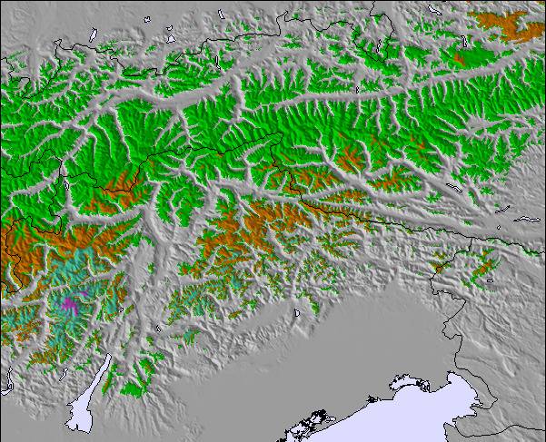
上記の表には See の1040 m の特定高度における天気予報が表示されています。高度な気候モデルによって、 See の山頂、中腹、麓にあるスキーステーションの雪予報を提供することができます。その他の高度の天気予報にアクセスするには、テーブルの上のタブナビゲーションをお使いください。より広範囲の天気予報には、 Austria の天気図をご覧ください。
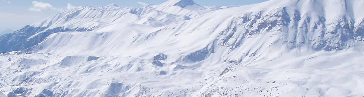
Skied See for the first time on 16 Feb. In short, another well laid out small resort with 40km of well maintained pistes backed up by a modern and efficient lift system bar one old and slow chair lift. The 1400m vertical height difference provides for a very long top to valley station run and with all the slopes facing north this guarantees a long and reliable snow cover.
There is a good variety of reds and blues and a couple of blacks, which really were reds.For adrenalin freaks, the off-piste opportunities are fantastic both with challenging ski routes and some serious back country runs. Best of all, the pistes were virtually deserted.
The resort is geared mostly to families and on-mountain subsistance affords great value - spag bog 8.80 euros and Weinerschnitzl 11.00 euros!
At just over 1,000m, See has the lowest base station in the Paznaunertal but don't let that put you off.
Definitely recommended for a long weekend or if you are staying in the Paznaunertal and want an away day from Ischgl or one the other resorts in the valley.


 Nearest