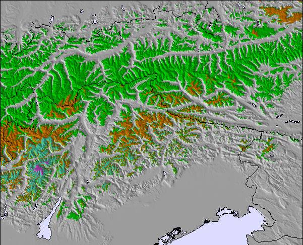
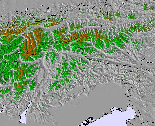
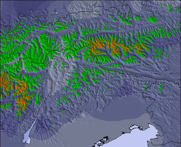
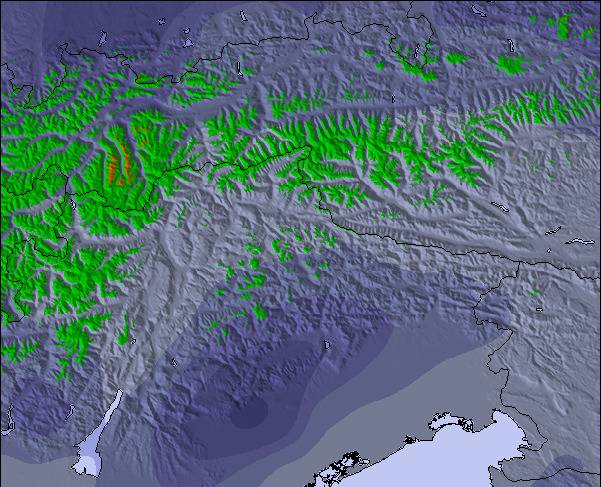
上記の表には Zell am See の1379 m の特定高度における天気予報が表示されています。高度な気候モデルによって、 Zell am See の山頂、中腹、麓にあるスキーステーションの雪予報を提供することができます。その他の高度の天気予報にアクセスするには、テーブルの上のタブナビゲーションをお使いください。より広範囲の天気予報には、 Austria の天気図をご覧ください。
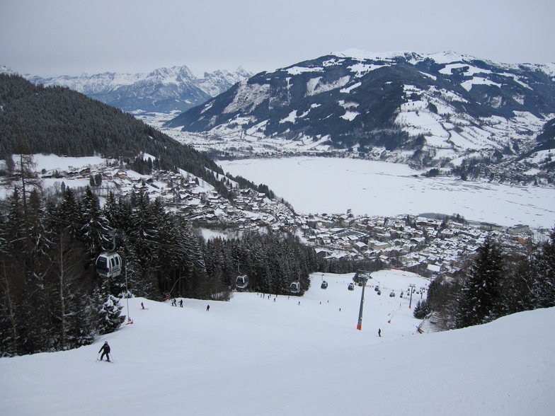
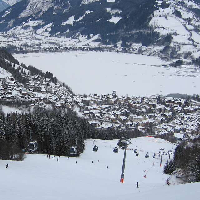
A beautiful Austrian town with the added benefit of a beautiful lake with views of it whilst skiing. Spent a week here mid January 2023. We skied Zell, Saalbach and Kaprun. Sadly, the pistes most of the week in Zell had not been pisted which made the skiing quite challenging to say the least. Kaprun, lower down, had been pisted which was better. It’s a shame as it was a lovely resort and I would have expected better of such a well known resort. The rep told us it was pisted every night but I would dispute this. Not once did we see a pisten bully all week at any time. I don’t expect perfect conditions when skiing as that is rare. However, this was another level! I have skied many resorts and many different conditions over the years but to be honest this spoilt the week for me. I would think again before going to Zell again and this is the only reason for this. Although also it was extremely busy and made it quite dangerous at times. I dread to think what it would be like in half term.
A beautiful Austrian town with the added benefit of a beautiful lake with views of it whilst skiing. Spent a week here mid January 2023. We skied Zell, Saalbach and Kaprun. Sadly, the pistes most of the week in Zell had not been pisted which made the skiing quite challenging to say the least. Kaprun, lower down, had been pisted which was better. It’s a shame as it was a lovely resort and I would have expected better of such a well known resort. The rep told us it was pisted every night but I would dispute this. Not once did we see a pisten bully all week at any time. I don’t expect perfect conditions when skiing as that is rare. However, this was another level! I have skied many resorts and many different conditions over the years but to be honest this spoilt the week for me. I would think again before going to Zell again and this is the only reason for this. Although also it was extremely busy and made it quite dangerous at times. I dread to think what it would be like in half term.
下記の Zell am Seeスキー天気ウィジェットを使って、無料で外部のウェブサイトに組み込むことができます。これによりZell am See の雪の予報と現在の気象条件の毎日の概況が分かります。フィード設定のページにアクセスし、簡単な3つのステップを踏むだけでカスタムhtmlコードスニペットを取得することができ、ご自身のサイトに貼り付けていただけます。ご自身のウェブサイトに合わせて、雪予報の高度(山の頂上、中腹、ふもとのリフト)やメートル法/ポンド・ヤード法を選ぶことができます。 クリックしてコードを取得


 Nearest