

Portillo Re-Opens To Guests Arriving By Helicopter
Chile’s famous Portillo ski resort is reported to have re-opened to guests arriving by helicopter after being cut off by road for more than two weeks by over 6m/20 feet of snowfall.

Next 3 days weather summary:並雨 (合計 17.0mm), 最大 水曜日の夜に. 暖かい (最大 26°C 月曜日の午後に, 最小 18°C 火曜日の夜に). 風は通常微風. | 4 - 6日間のBalderschwang 天気予報の概況豪雨 (合計 46.0mm), 最大 木曜日の夜間. 暖かい (最大 22°C 木曜日の午後に, 最小 13°C 木曜日の夜に). 風は通常微風. | |||||||||||||||||
月曜日 3 | 火曜日 4 | 水曜日 5 | 木曜日 6 | 金曜日 7 | 土曜日 8 | |||||||||||||
午前 | 午後 | 夜] | 午前 | 午後 | 夜] | 午前 | 午後 | 夜] | 午前 | 午後 | 夜] | 午前 | 午後 | 夜] | 午前 | 午後 | 夜] | |
晴れる | 一部曇り | にわか雨 | 晴れる | 晴れる | にわか雨 | 雷の恐れ | 雷の恐れ | 並雨 | 晴れる | 雷の恐れ | 豪雨 | 雷の恐れ | 雷の恐れ | にわか雨 | 晴れる | 雷の恐れ | にわか雨 | |
km/h | ||||||||||||||||||
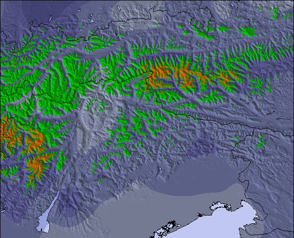
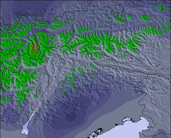
雪 マップ |  |  |  |  |  |  | ||||||||||||
— | — | — | — | — | — | — | — | — | — | — | — | — | — | — | — | — | — | |
mm | — | — | 2 | — | — | 6 | 1 | 2 | 6 | — | 8 | 31 | 1 | 2 | 1 | — | 2 | 1 |
max °C | 24 | 26 | 24 | 23 | 26 | 21 | 20 | 23 | 21 | 20 | 22 | 14 | 14 | 16 | 16 | 17 | 18 | 18 |
min °C | 23 | 26 | 21 | 22 | 25 | 18 | 20 | 23 | 19 | 20 | 19 | 13 | 13 | 15 | 15 | 15 | 17 | 18 |
chill °C | 23 | 26 | 21 | 22 | 25 | 18 | 20 | 23 | 19 | 20 | 19 | 13 | 13 | 15 | 15 | 15 | 17 | 18 |
湿度の高い % | 39 | 38 | 57 | 46 | 43 | 71 | 63 | 55 | 64 | 68 | 80 | 85 | 95 | 85 | 79 | 79 | 75 | 57 |
凍結高度 m | 4500 | 4550 | 4550 | 4500 | 4500 | 4450 | 4350 | 4450 | 4350 | 4300 | 4400 | 3800 | 3850 | 3950 | 3950 | 3950 | 4050 | 4100 |
5:58 | — | — | 6:00 | — | — | 6:01 | — | — | 6:01 | — | — | 6:03 | — | — | 6:05 | — | — | |
— | — | 8:51 | — | — | 8:50 | — | — | 8:47 | — | — | 8:46 | — | — | 8:45 | — | — | 8:44 | |
Go pro and carve into:
最新の雪レポート Balderschwang:
| 雪上部の深さ | 0 cm |
|---|---|
| 雪下部の深さ | 0 cm |
| 新雪の深さ | — |
| 最後の降雪 | 16 May 2026 |
0.0 | ブルバードパウダーの日 新雪、おおむね晴れ、微風 |
|---|---|
0.0 | パウダーの日 新雪、時々晴れ、風あり |
0.0 | ブルーバードの日 平均的な雪、おおむね晴れ、微風 |


 Nearest