

Whakapapaスキー リゾート ガイド
ゲレンデの統計
2300m
675m
1625m
- スキー場の広さ:1100
- ゲレンデ:30
- 人工雪製造:10%
- ハーフパイプ:1
- 地域公園:2
- X-国:-
- 初心者30%
- 中級者45%
- 高度25%

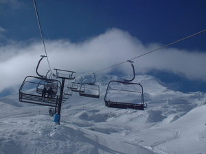
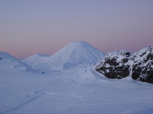
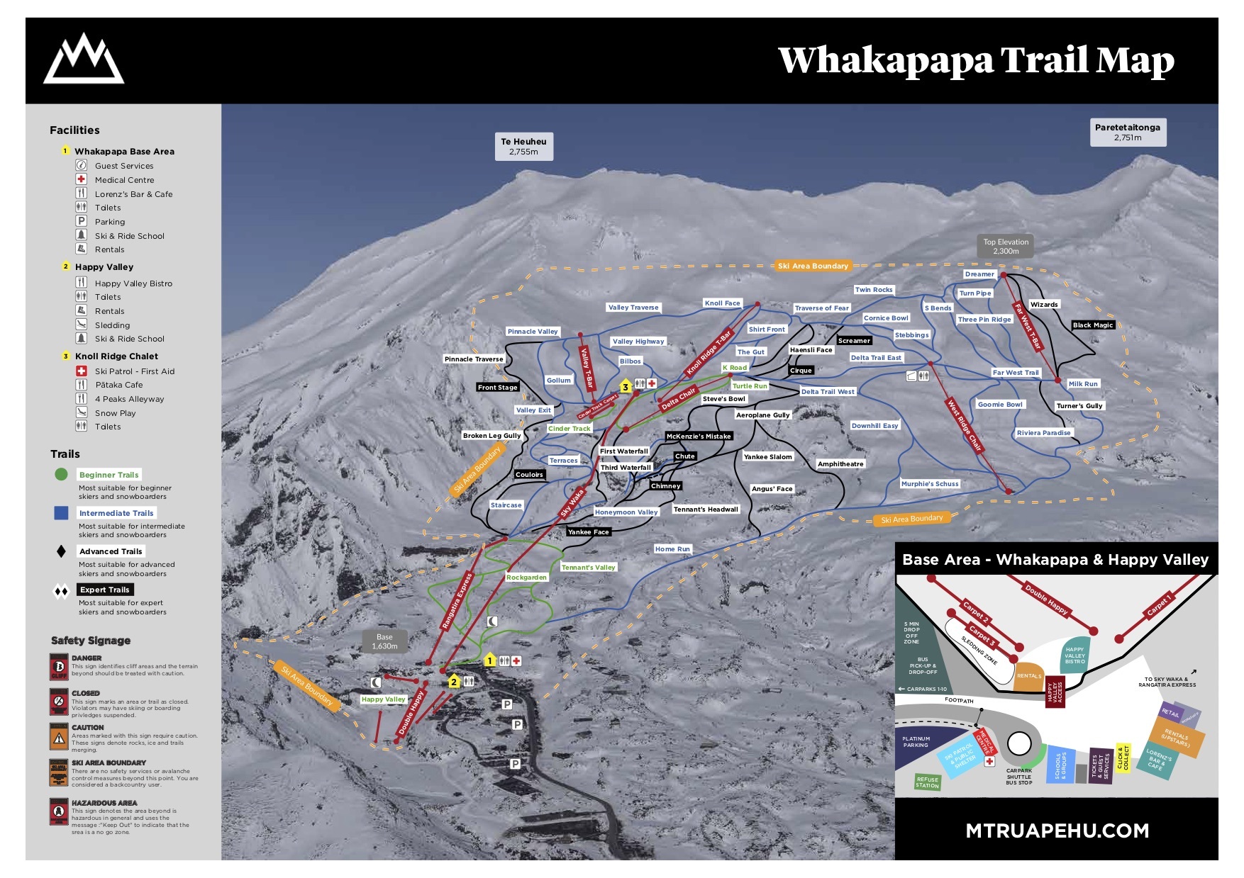
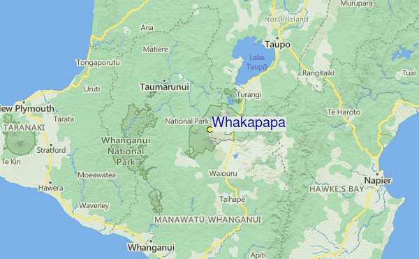
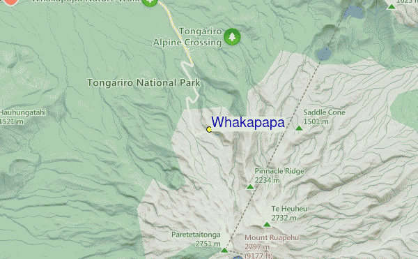
Whakapapa (New Zealand's largest ski area since joining with Turoa Ski Resort) is part of Tongariro National Park, New Zealand's oldest National Park and a World Heritage area. Whakapapa is operated under a license issued by the Department of Conservation and is owned and run by Ruapehu Alpine Lifts Ltd. There are 43 trails at Whakapapa with terrain for all ability levels, including off-piste expert terrain. The ski area can be broken into three: Happy Valley (a self contained beginners area), the east side (where the majority of lifts and services are located) and the west side (highlighted by the lift accessed back-country terrain). The nearest airport to Whakapapa is in Wellington.
旅行
- 最寄りの空港:Taupo
- 最寄りの鉄道駅:National Park Village
- 観光案内所の電話番号::+6478924000
- 観光案内所のウェブサイト:https://www.mtruapehu.com/whakapapa
- ゲレンデ沿いにある宿泊施設:-
 4
4 -
-
リフト
- シーズン開始:8 Jul 2026
- シーズン終了:25 Oct 2026
- Lifts:15 ( 7 chairlifts, 7 surface lifts )
 1
1 7
7 7
7
最新の雪レポート雪レポートを全部見る
- 発行:17 Jul
- 前回の降雪:—
- 雪の深さ(頂上付近):25cm
- 雪の深さ(麓付近):11cm
- ゲレンデ:Packed powder and groomed snow
- ゲレンデ外:—
今日の天気 (1962 m)雪予報を全部見る
| 午前 | 0 °C | Fレベル 2050 m | ||
| 午後 | 0 °C | Fレベル 2000 m | ||
| 夜] | 0 °C | Fレベル 1850 m |
Whakapapa に近いリゾート。以下を含みます。:
- Tukino 8km
- Turoa 9km
- Manganui 126km
- Rainbow 372km
- Mount Lyford 410km
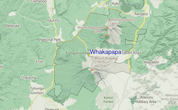
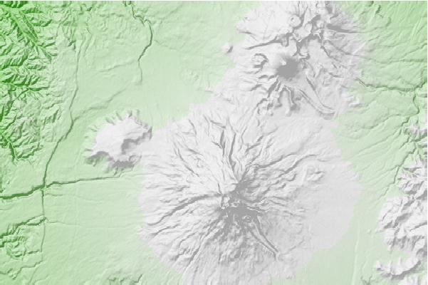
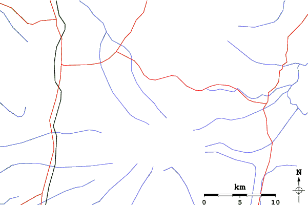
Whakapapaロケーション地図
(また詳細なを参照してください。Whakapapa の天気図によって、現在と将来の雪の状況がビジュアルで分かる概要をご覧いただけます。)
Whakapapaのビジターによるレビュー
AustraliaのGeoff Powdrellが記述:
I love this mountain and always will. I may have a different perspective to many because I always stay in one of the ski lodges on Whakapapa. Staying on the mountain is a beautiful experience. I took a party of 10 to stay at our lodge in August 2023 and we all had an amazing time, it was a great snow season. We tried the same again in August 2024 but the snow gods were not forthcoming. However, we improvised and did bush walks, hot pools and other activities to make up for the lack of snow and conditions. I have been coming here since I was a tiny tot in the late seventies so my views are the same, always a great experience at Whakapapa.
 Whakapapaに最も近い都市の予測
- Wanganui, New Zealand89km
- Hastings, New Zealand120km
- Palmerston North, New Zealand125km
- Napier, New Zealand126km
- New Plymouth, New Zealand130km
 Whakapapaに最も近いサーフブレイク
- Kai-Iwi, New Zealand92km
- Karaka Street, New Zealand93km
- Morgan Street (North Mole), New Zealand93km
- Rangiora Street, New Zealand93km
- South Beach (Wanganui), New Zealand94km
 Whakapapaに最も近い山の頂上
- Whakapapaiti Hut, New Zealand3km
- Ruapehu, New Zealand7km
- Whangaehu Hut, New Zealand7km
- Hauhungatahi, New Zealand9km
- Mangaturuturu Hut, New Zealand9km
Whakapapaの周りにあるリゾートと山頂
 Nearest