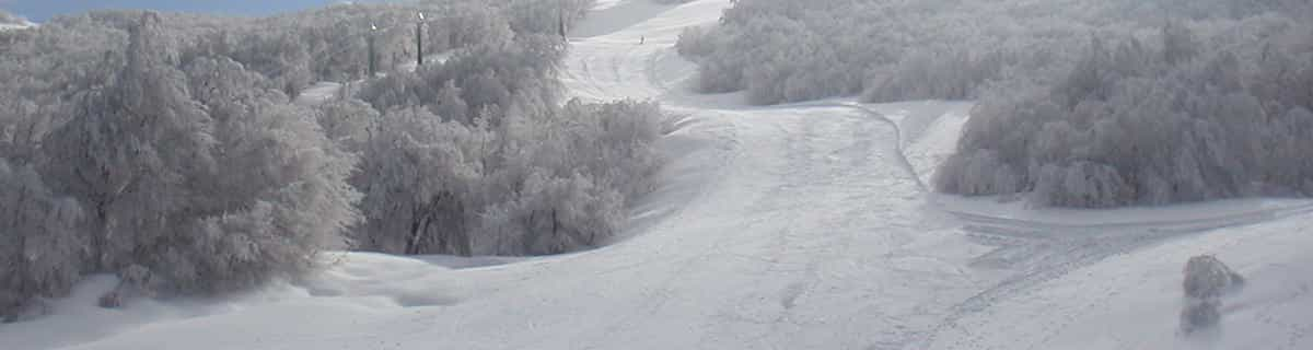


Portillo Storm Snowfall Total Passes 5m / 17 Feet
A snow storm that has now continued for nine days has taken Chilean ski resort Portillo to a snowfall total of 5.2 metres (17 feet) so far, with more snow forecast.

Next 3 days weather summary:少量の雨 (合計 9.0mm), 大抵降る 金曜日の夜に. 暖かい (最大 27°C 木曜日の午後に, 最小 17°C 金曜日の夜に). 風は通常微風. | 4 - 6日間のSeythenex 天気予報の概況少量の雨 (合計 5.0mm), 大抵降る 月曜日の夜に. 暖かい (最大 27°C 日曜日の午後に, 最小 18°C 月曜日の夜に). 風は通常微風. | |||||||||||||||||
水曜日 29 | 木曜日 30 | 金曜日 31 | 土曜日 1 | 日曜日 2 | 月曜日 3 | |||||||||||||
午前 | 午後 | 夜] | 午前 | 午後 | 夜] | 午前 | 午後 | 夜] | 午前 | 午後 | 夜] | 午前 | 午後 | 夜] | 午前 | 午後 | 夜] | |
晴れる | 晴れる | 晴れる | 晴れる | 晴れる | 一部曇り | 晴れる | 一部曇り | にわか雨 | にわか雨 | 一部曇り | 一部曇り | 晴れる | 晴れる | 晴れる | 晴れる | 一部曇り | にわか雨 | |
km/h | ||||||||||||||||||
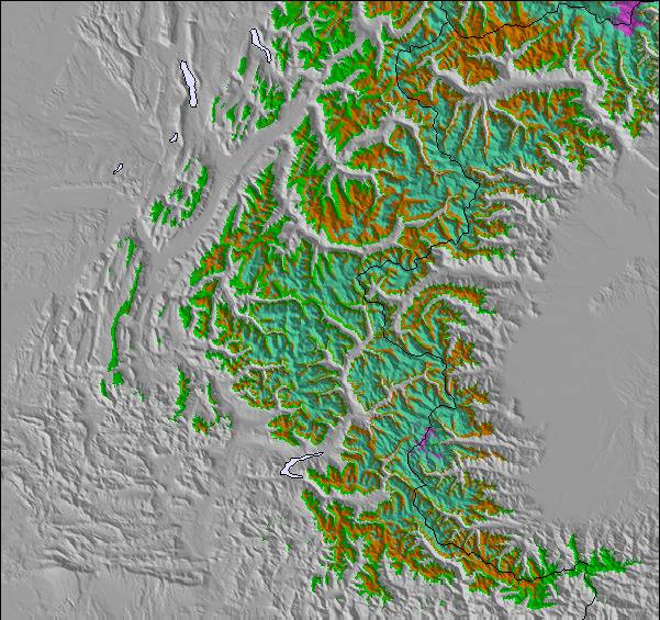
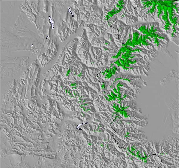
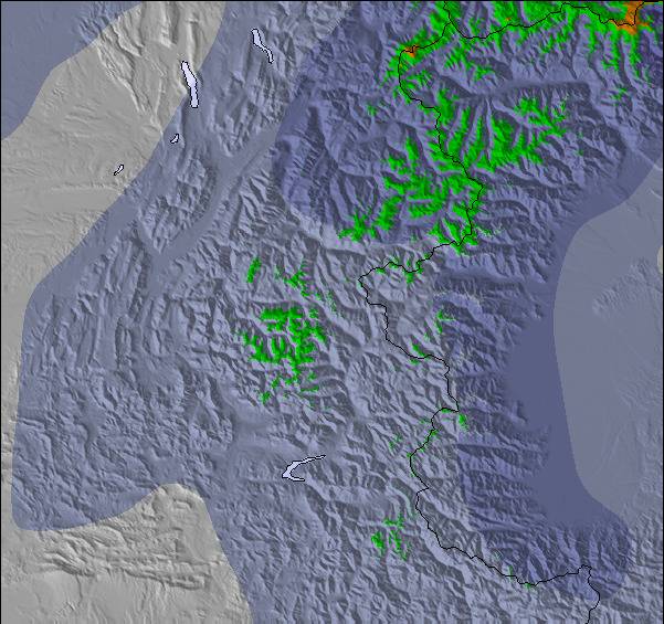
雪 マップ |  |  |  |  |  |  | ||||||||||||
— | — | — | — | — | — | — | — | — | — | — | — | — | — | — | — | — | — | |
mm | — | — | — | — | — | — | — | — | 9 | 1 | — | — | — | — | — | — | — | 4 |
max °C | 21 | 25 | 24 | 24 | 27 | 26 | 24 | 27 | 21 | 20 | 24 | 23 | 22 | 27 | 25 | 22 | 26 | 21 |
min °C | 20 | 24 | 23 | 23 | 26 | 23 | 23 | 25 | 17 | 20 | 23 | 20 | 20 | 26 | 22 | 22 | 25 | 18 |
chill °C | 20 | 24 | 23 | 23 | 26 | 23 | 23 | 25 | 16 | 20 | 23 | 20 | 20 | 26 | 22 | 22 | 25 | 18 |
湿度の高い % | 53 | 27 | 26 | 25 | 21 | 38 | 36 | 37 | 48 | 51 | 39 | 56 | 48 | 27 | 41 | 43 | 44 | 61 |
凍結高度 m | 4500 | 4550 | 4650 | 4600 | 4650 | 4750 | 4650 | 4600 | 4600 | 4450 | 4650 | 4600 | 4600 | 4750 | 4650 | 4600 | 4550 | 4500 |
6:13 | — | — | 6:13 | — | — | 6:16 | — | — | 6:16 | — | — | 6:18 | — | — | 6:18 | — | — | |
— | — | 9:07 | — | — | 9:06 | — | — | 9:05 | — | — | 9:04 | — | — | 9:02 | — | — | 9:00 | |
Go pro and carve into:
最新の雪レポート Seythenex:
No information received. Another glorious day. から La Giettaz en Aravis
| 雪上部の深さ | — |
|---|---|
| 雪下部の深さ | — |
| 新雪の深さ | — |
| 最後の降雪 | 16 May 2026 |
0.0 | ブルバードパウダーの日 新雪、おおむね晴れ、微風 |
|---|---|
0.0 | パウダーの日 新雪、時々晴れ、風あり |
0.0 | ブルーバードの日 平均的な雪、おおむね晴れ、微風 |

 Nearest