
Ruwenzoriスキー リゾート ガイド
ゲレンデの統計
5109m
2743m
2366m
- スキー場の広さ:-
- ゲレンデ:-
- 人工雪製造:-
- ハーフパイプ:-
- 地域公園:-
- X-国:-
- 初心者-
- 中級者-
- 高度-

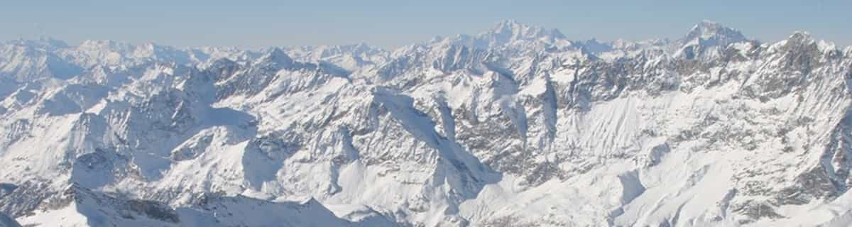
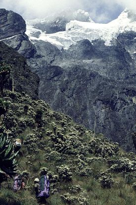
The Ruwenzori is a group of six high glaciated massifs, located in a small remote area between Lake Edward and Lake Albert on the border between Uganda and Zaire. This is part of the African Lake District, west of the Great Rift Valley. The massifs are all topped with several icy summits and are deeply divided by narrow 3,000-foot gorges. The complex is surrounded by a wide belt of boggy foothills, guarding the mountains with an approach through knee-deep mud and practically impassable vegetation. These conditions, coupled with frequent bad weather, saved Ruwenzori from exploration until well after the rest of East Africa had already been explored. In 150 AD, the distinguished geographer Claudius Ptolemy produced an early map of Africa on which a group of mountains just south of the equator were identified as Lunae Montes, or 'Mountains of the Moon'. They were shown to be an important water source, and were subsequently believed to be the source of the Nile. Although Kilimangaro and Kenya have been postulated as the mountains to which Ptolemy referred, it is widely held that the Ruwenzori Mountains are indeed the 'Mountains of the Moon'. The Zaire side is part of the Virunga National Park. Accommodations here are better than on the Uganda side, where mountain huts exist but are mostly run down and unsanitary.
 -
- -
-リフト
- シーズン開始:
- シーズン終了:
- Lifts:-
 -
-

最新の雪レポート雪レポートを全部見る
- 発行:22 Jul
- 前回の降雪:—
- 雪の深さ(頂上付近):–
- 雪の深さ(麓付近):–
- ゲレンデ:—
- ゲレンデ外:—
今日の天気 (3738 m)雪予報を全部見る
| 午前 | 7 °C | Fレベル 4850 m | ||
| 午後 | 8 °C | Fレベル 4850 m | ||
| 夜] | 8 °C | Fレベル 4950 m |
Ruwenzori に近いリゾート。以下を含みます。:
- Afri-Ski 3255km
- Tiffindell 3465km
- Mount Hermon 3709km
- Zaarour 3776km
- Mzaar Ski Resort 3784km
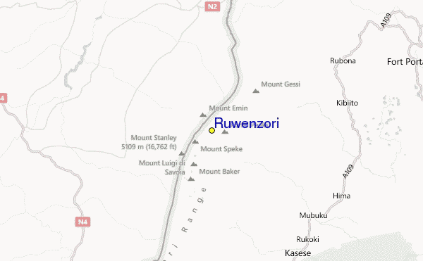
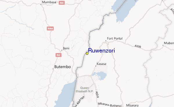
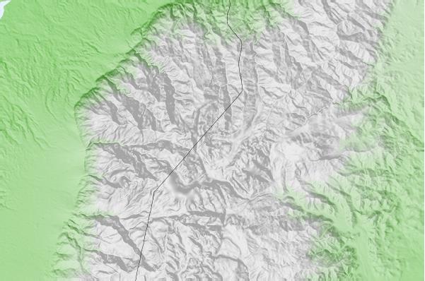
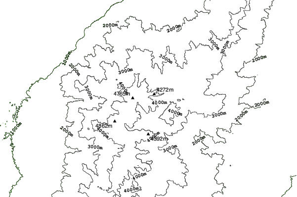
Ruwenzoriロケーション地図

(また詳細なを参照してください。Ruwenzori の天気図によって、現在と将来の雪の状況がビジュアルで分かる概要をご覧いただけます。)
 Ruwenzoriに最も近い都市の予測
- Kasese, Uganda23km
- Fort Portal, Uganda48km
- Beni, Democratic Republic of the Congo52km
- Butembo, Democratic Republic of the Congo78km
- Bunia, Democratic Republic of the Congo124km
 Ruwenzoriに最も近いサーフブレイク
- Mombasa Channel, Kenya1194km
- Watamu Bay, Kenya1199km
- Malindi Bay, Kenya1204km
- Nungwi Reefs, Tanzania1245km
- Jam's Right, Tanzania1307km
 Ruwenzoriに最も近い山の頂上
- Mount Gessi, Congo D R1km
- Mount Emin, Congo D R3km
- Mount Speke, Congo D R6km
- Mount Baker, Uganda8km
- Mount Stanley or Margherita, Congo D R8km
Ruwenzoriの周りにあるリゾートと山頂
 Nearest