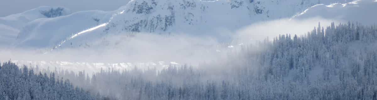

Planneralmスキー リゾート ガイド
ゲレンデの統計
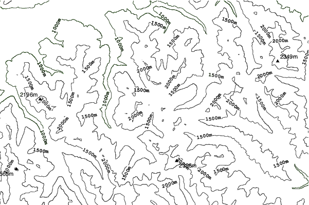
2200m
600m
1600m
- スキー場の広さ:-
- ゲレンデ:9
- 人工雪製造:-
- ハーフパイプ:-
- 地域公園:-
- X-国:-
- 初心者-
- 中級者-
- 高度-

Planneralm, in Austria, has 4 ski lifts (2 chairlifts and 2 surface lifts) and offers skiers an impressive 600 metres (1969 feet) of vertical descent. Planneralm has 9 pistes. We have no information about the existence of any cross country ski trails at Planneralm. There is accommodation located close to the pistes but we would welcome additional information about any hotels or chalets in Planneralm.
旅行
- 最寄りの空港:-
- 最寄りの鉄道駅:-
- 観光案内所の電話番号::+43 (0)3683/ 8128
- 観光案内所のウェブサイト:winter.planneralm.at/
- ゲレンデ沿いにある宿泊施設:はい
 -
- -
-
リフト

- シーズン開始:28 Nov 2025
- シーズン終了:5 Apr 2026
- Lifts:4 (2 chairlifts and 2 surface lifts)
 -
- 2
2 2
2
最新の雪レポート雪レポートを全部見る
- 発行:18 Jul
- 前回の降雪:—
- 雪の深さ(頂上付近):0cm
- 雪の深さ(麓付近):0cm
- ゲレンデ:—
- ゲレンデ外:—
今日の天気 (1900 m)雪予報を全部見る
| 午前 | 13 °C | Fレベル 3800 m | ||
| 午後 | 15 °C | Fレベル 3700 m | ||
| 夜] | 10 °C | Fレベル 3500 m |
Planneralm に近いリゾート。以下を含みます。:
- Donnersbachwald 6km
- Irdning 14km
- Lachtal 20km
- Wald at the Schoberpass-Sonnberglifts 21km
- Hohentauern 22km
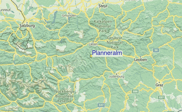
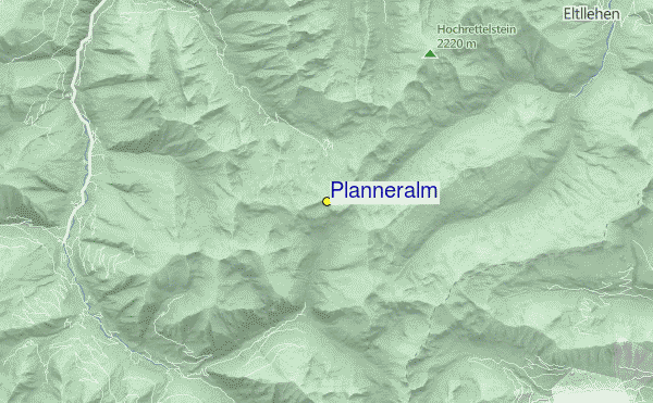
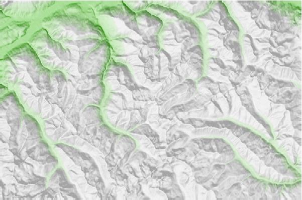
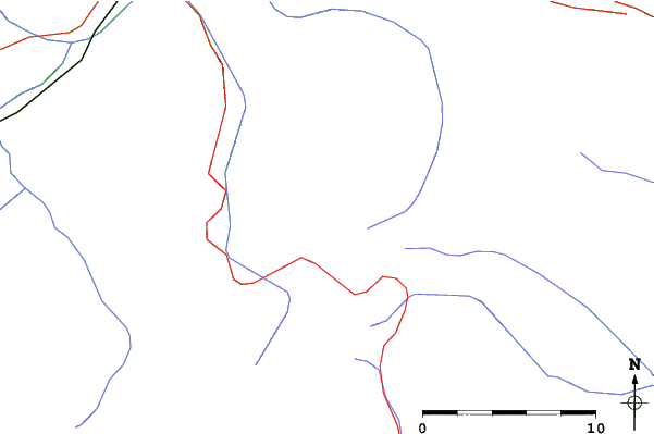
Planneralmロケーション地図

(また詳細なを参照してください。Planneralm の天気図によって、現在と将来の雪の状況がビジュアルで分かる概要をご覧いただけます。)
 Planneralmに最も近い都市の予測
- Steyr, Austria74km
- Wolfsberg, Austria78km
- Klagenfurt, Austria84km
- Wels, Austria87km
- Villach, Austria91km
 Planneralmに最も近いサーフブレイク
- Lignano Pineta (Stephanie's), Italy209km
- Punta Sabbioni, Italy257km
- La Diga (Sottomarina), Italy281km
- Camp Kazela Medulin, Croatia289km
- Marina Romea, Italy347km
 Planneralmに最も近い山の頂上
- Greim (Wolzer Tauern), Austria17km
- Grimminghutte, Austria18km
- Linzer Tauplitz-Haus, Austria27km
- Admonter Kalbling, Austria28km
- Kreuzkogel, Austria29km
Planneralmの周りにあるリゾートと山頂
 Nearest