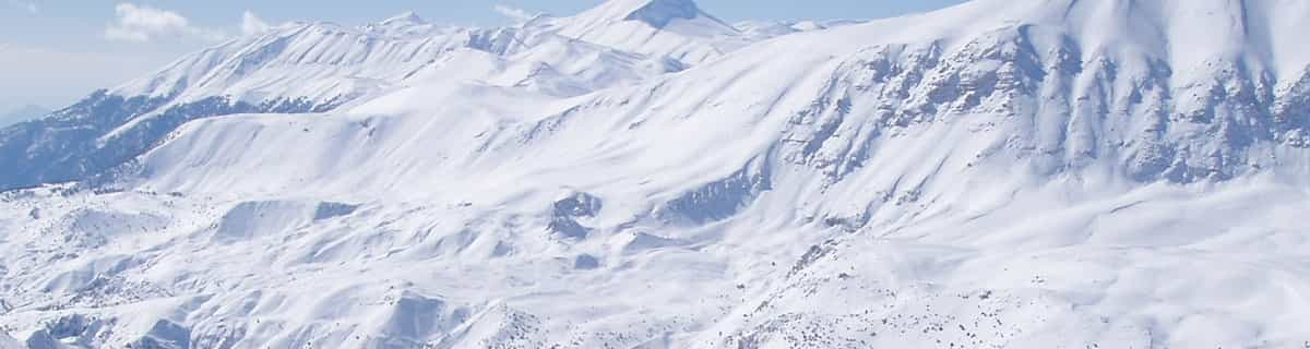
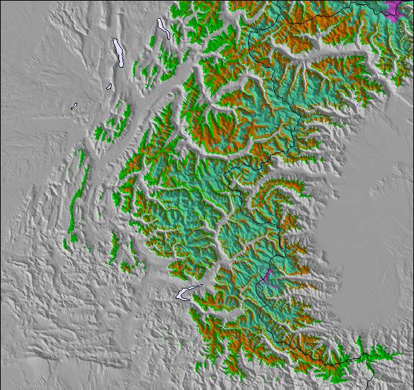
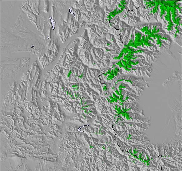
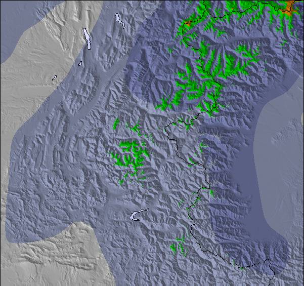
上記の表には Notre Dame de Bellecombe の2071 m の特定高度における天気予報が表示されています。高度な気候モデルによって、 Notre Dame de Bellecombe の山頂、中腹、麓にあるスキーステーションの雪予報を提供することができます。その他の高度の天気予報にアクセスするには、テーブルの上のタブナビゲーションをお使いください。より広範囲の天気予報には、 France の天気図をご覧ください。
Background: I own a property in this resort and I want people to enjoy visiting and returning to the place for what it is and not what a fancy sales brochure might suggest it is by people who have never been. It is a real French resort based on an established community going back hundreds of years.
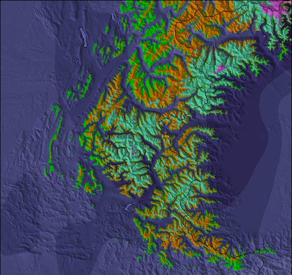
In NDB there are an number of really super blue and red runs but most are shorter than you will find in the highly commercialised areas of Les Arc etc, but you won't be queuing ages for the lift and there are also a number of smaller but interesting runs for the advanced skier. Overall I would say it is a family resort ideal for beginners to competent intermediate skiers but for the advanced you may be frustrated at the lack of blacks.Off piste however there are some challenging areas.NDB is part of the vast Espace Diamant ski area but this is not as well connected as others and the occasional long pole to a connecting area can be a pain but you soon learn.Perhaps on one day you might take the short drive to the next village i.e Les Saises ,with good parking as it opens up,access to new and different runs. In the afternoon some can ski back to NDB while the more modest or slower take the car. In NDB the standard of restaurants is good and early après ski fine but we have not found it a wild place for the early 20's looking for clubs etc.
Megeve is accessible by car and takes about 20 minutes and there is much more night life for those inclined. Overall it is a real ski resort that offers attractive possibilities for family skiing and a great holiday. Only one year in eight has the quality of snow been to poor to ski but unless even then Chamonix was largely closing. Finally the lift passes are very flexible allowing some to ski all week and others to opt in and out at an affordable price.
Background: I own a property in this resort and I want people to enjoy visiting and returning to the place for what it is and not what a fancy sales brochure might suggest it is by people who have never been. It is a real French resort based on an established community going back hundreds of years.
In NDB there are an number of really super blue and red runs but most are shorter than you will find in the highly commercialised areas of Les Arc etc, but you won't be queuing ages for the lift and there are also a number of smaller but interesting runs for the advanced skier. Overall I would say it is a family resort ideal for beginners to competent intermediate skiers but for the advanced you may be frustrated at the lack of blacks.Off piste however there are some challenging areas.NDB is part of the vast Espace Diamant ski area but this is not as well connected as others and the occasional long pole to a connecting area can be a pain but you soon learn.Perhaps on one day you might take the short drive to the next village i.e Les Saises ,with good parking as it opens up,access to new and different runs. In the afternoon some can ski back to NDB while the more modest or slower take the car. In NDB the standard of restaurants is good and early après ski fine but we have not found it a wild place for the early 20's looking for clubs etc.
Megeve is accessible by car and takes about 20 minutes and there is much more night life for those inclined. Overall it is a real ski resort that offers attractive possibilities for family skiing and a great holiday. Only one year in eight has the quality of snow been to poor to ski but unless even then Chamonix was largely closing. Finally the lift passes are very flexible allowing some to ski all week and others to opt in and out at an affordable price.
下記の Notre Dame de Bellecombeスキー天気ウィジェットを使って、無料で外部のウェブサイトに組み込むことができます。これによりNotre Dame de Bellecombe の雪の予報と現在の気象条件の毎日の概況が分かります。フィード設定のページにアクセスし、簡単な3つのステップを踏むだけでカスタムhtmlコードスニペットを取得することができ、ご自身のサイトに貼り付けていただけます。ご自身のウェブサイトに合わせて、雪予報の高度(山の頂上、中腹、ふもとのリフト)やメートル法/ポンド・ヤード法を選ぶことができます。 クリックしてコードを取得


 Nearest