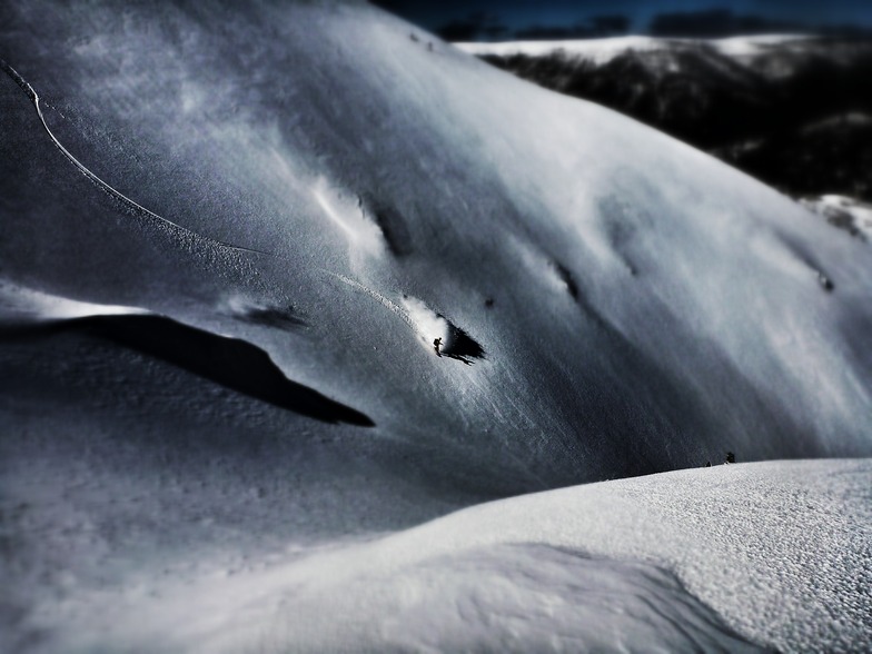
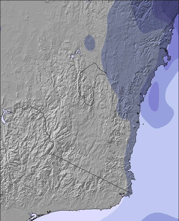
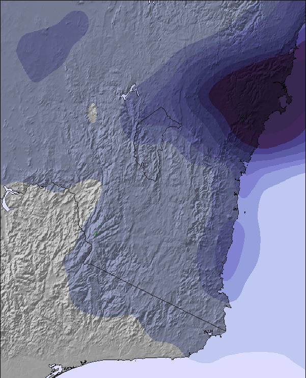
上記の表には Mount Hotham の1454 m の特定高度における天気予報が表示されています。高度な気候モデルによって、 Mount Hotham の山頂、中腹、麓にあるスキーステーションの雪予報を提供することができます。その他の高度の天気予報にアクセスするには、テーブルの上のタブナビゲーションをお使いください。より広範囲の天気予報には、 Australia の天気図をご覧ください。
It's funny all the negative comments I see here.
Each to their own, however, I think a lot of you have your nose out of joint because you have probably come at a time where there hasn't been particularly great snow fall.
We can't predict the weather, there may be days when the resort is better than others.
As for people saying its too expensive, you'll find all the other decent resorts in Aus are the same price, if not, very close!
As for cost of food etc- of course it's going to be a little more pricey, it's like going to a theme park or the footy, I paid $14 for a pie and a bottle of coke at the footy!
If you are planning a holiday at the snow, you need to be prepared with extra cash, just like any resort!


 Nearest