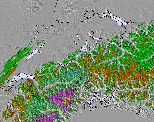
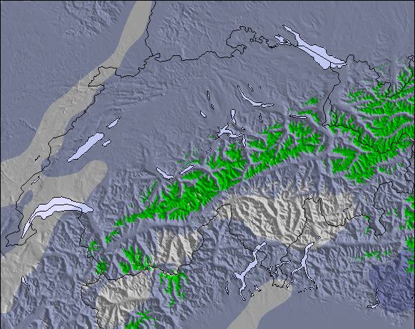
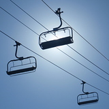
上記の表には Les Gets の2002 m の特定高度における天気予報が表示されています。高度な気候モデルによって、 Les Gets の山頂、中腹、麓にあるスキーステーションの雪予報を提供することができます。その他の高度の天気予報にアクセスするには、テーブルの上のタブナビゲーションをお使いください。より広範囲の天気予報には、 France の天気図をご覧ください。
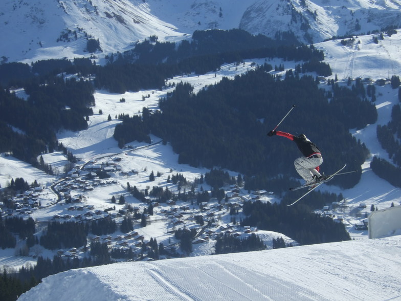
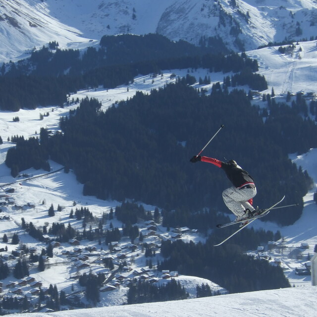
Great place for intermediates/beginners. 3 of us went at half term inc my 15 yr old son. We drove down to save on flight costs and self catered, brought 3 meals with us pre-prepared: all wine and beer, snacks etc, so made saving there as well. Took 14 hours but we stopped Friday night south of Dijon to sleep. Managed to get into Les Gets and on piste by 1pm on the Saturday. Stayed at the Perrriere end of the village to avoid crowds at Chavanne (half term); 2 min walk to lift, which was the best decision ever as we could get into the outback and ski fresh pisted runs in the morning before they got chopped up. It was a 15min walk to town but the bus goes every 15 mins and it was fine. Les Gets is a really nice place and we have been here 3 times now, 2 skiing and one summer. We have though outgrown it in terms of the skiing it offers and will be finding a higher resort for next year. But I would throughly recommend it and if you are looking for a ski holiday on a budget then look into driving; the whole week (6.5 days skiing) inc every single expense cost £3600 which at half term is unbelievable, and we still ate out at nice restaurants for 4 nights. We could have skied the Saturday as well but as the snow was not the best by then we decided to come home.
Great place for intermediates/beginners. 3 of us went at half term inc my 15 yr old son. We drove down to save on flight costs and self catered, brought 3 meals with us pre-prepared: all wine and beer, snacks etc, so made saving there as well. Took 14 hours but we stopped Friday night south of Dijon to sleep. Managed to get into Les Gets and on piste by 1pm on the Saturday. Stayed at the Perrriere end of the village to avoid crowds at Chavanne (half term); 2 min walk to lift, which was the best decision ever as we could get into the outback and ski fresh pisted runs in the morning before they got chopped up. It was a 15min walk to town but the bus goes every 15 mins and it was fine. Les Gets is a really nice place and we have been here 3 times now, 2 skiing and one summer. We have though outgrown it in terms of the skiing it offers and will be finding a higher resort for next year. But I would throughly recommend it and if you are looking for a ski holiday on a budget then look into driving; the whole week (6.5 days skiing) inc every single expense cost £3600 which at half term is unbelievable, and we still ate out at nice restaurants for 4 nights. We could have skied the Saturday as well but as the snow was not the best by then we decided to come home.


 Nearest