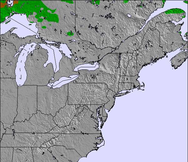
上記の表には Jay Peak の1209 m の特定高度における天気予報が表示されています。高度な気候モデルによって、 Jay Peak の山頂、中腹、麓にあるスキーステーションの雪予報を提供することができます。その他の高度の天気予報にアクセスするには、テーブルの上のタブナビゲーションをお使いください。より広範囲の天気予報には、 United States の天気図をご覧ください。
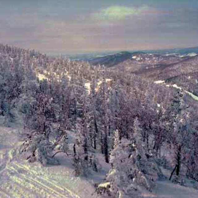
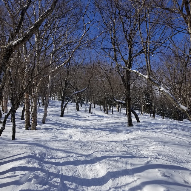
I have been skiing 30 plus years and I have skied all over the USA and Canada East to West. Jay peak is in a league of its own for snow quality and quantity compared to any other eastern ski resort. I have had just as many powder days at Jay peak as I have had at SnowMass or Alta. The difference with those places is they are way bigger, so less tracked up and snow stays for days and weeks as powder due to elevation. With Jay you have to plan around the weather and when it dumps stay there a few days, it won’t disappoint. It’s honestly as gnarly as it gets.
I have been skiing 30 plus years and I have skied all over the USA and Canada East to West. Jay peak is in a league of its own for snow quality and quantity compared to any other eastern ski resort. I have had just as many powder days at Jay peak as I have had at SnowMass or Alta. The difference with those places is they are way bigger, so less tracked up and snow stays for days and weeks as powder due to elevation. With Jay you have to plan around the weather and when it dumps stay there a few days, it won’t disappoint. It’s honestly as gnarly as it gets.


 Nearest